Community Development
Southern Boulevard Brownfield Opportunity Area Study
A community-led plan for about 56 acres along the Bronx River, completed by YMPJ in partnership with the New York State Department of State.
56 acres
On the east and west banks of the Bronx River
150 to 200
Potential brownfield sites in the study area
18 months
Of research, outreach and community meetings
2025
Study completed and recommendations released
Project overview
Youth Ministries for Peace and Justice, in partnership with the New York State Department of State, completed a Nomination Study for an approximately 56-acre area with potential brownfield sites on the east and west banks of the Bronx River in the South Bronx.
After a year of listening, collaboration and research, the team outlined equity-focused strategies for the future of the Bronx River corridor. The report is a shared vision shaped by residents, organizations and local stakeholders.
The study is complete
Final recommendations were presented at a public release meeting at YMPJ’s office at 1244 Manor Avenue on September 17, 2025, followed by a 30-day public comment period.
Read the final report →
Download the meeting flyer (PDF) →
What is a brownfield?
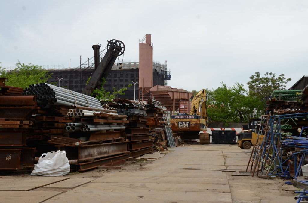
Brownfields are properties that are held back by real or perceived environmental contamination. A Brownfield Opportunity Area (BOA) study is a strategic plan for an area with known or suspected brownfields. It ends in a request for BOA designation, which brings in resources for cleanup and reuse.
Learn about the state BOA program →
What the study set out to do
The area is defined by physical barriers: the Sheridan Expressway, an elevated train line, the Cass Gilbert train station, fenced vacant lots and an irregular street grid. The study looked for ways to:
Improve waterfront access
Increase public open space
Reduce flooding
Create jobs and workforce training
Preserve affordable housing
Drive economic investment
Most importantly, the nomination study was developed from community input, so the designation reflects the neighborhood’s own vision and goals.
The study area
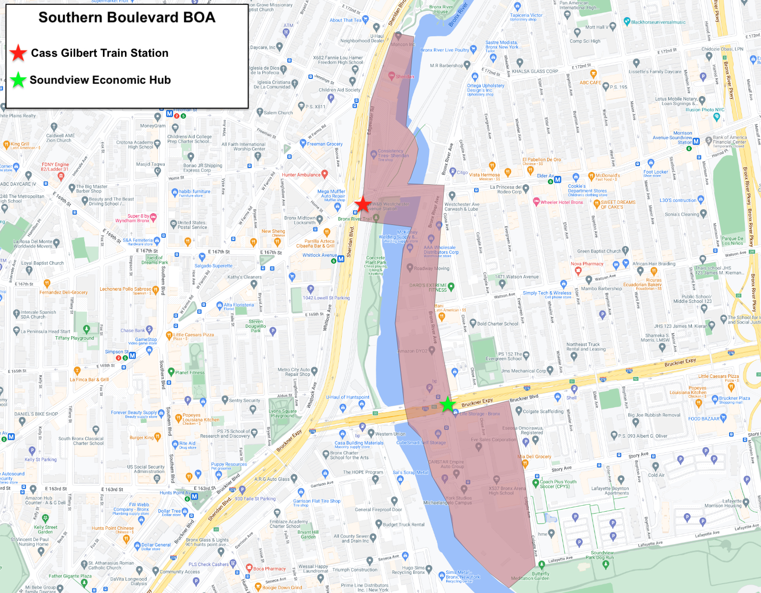
The study area runs along the west shore of the Bronx River between Starlight Park and Westchester Avenue, and along the east shore from Westchester Avenue south to Lafayette Avenue and Soundview Park.
With the Steering Committee, YMPJ looked closely at a few sites and searched for more waterfront sites that can be cleaned up, including:
The Soundview Economic Hub →
The vacant Amtrak station on Westchester Avenue →
Who did the work
The study was led by YMPJ with a consultant team led by Ennead Lab. The team brought expertise in land use and planning (HR&A), stakeholder engagement and landscape architecture (Grain Collective), environmental review (GEI Consultants) and transportation planning (BFJ Planning).
Funding came from the New York State Department of State through its Brownfield Opportunity Area program. The study ran for 18 months and was completed in late summer 2025.
Steering Committee
Met every few months to guide progress and weigh in on major questions.
Loving the Bronx
WHEDco
Bronx River Alliance
NYC Department of Transportation
NYC Department of City Planning
NYC Mayor’s Office of Environmental Remediation
NYC Department of Health and Mental Hygiene
NYC Economic Development Corporation
NYS Senate District 32
Updates and documents
Records of community meetings and the studies that came before this one.
Questions about the study?
Write to the BOA team at [email protected], and follow @official.ympj for community events.